4C Survey are prepared and ready to assist with your Building, Cadastral, Civil or Construction project.
- Detail and Level Surveys (Contour and Feature), Detailed plans with locations and levels of existing site features that allow Architects & Designers to confidently and accurately design your home or project.
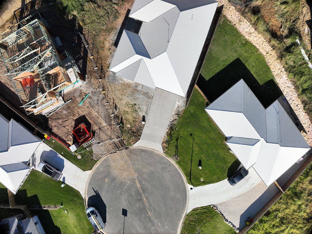
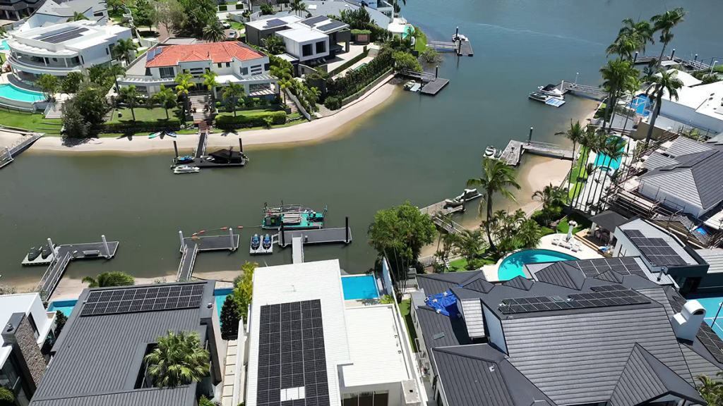
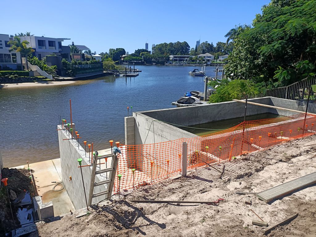
- Drone Surveys, We can capture high resolution aerial imagery (and contours). Very useful resource for Designers and Property Owners to visualise the property during the collaboration, design and construction process.
- Form 12 certificate, Surveyors Form 12 certification is a condition of most building and development approvals. A Form 12 survey is normally carried out in conjunction a “Building Set-out”. Necessity for obtaining a Final Inspection Certificate.
- Identification survey, Boundary remarking survey for purposes of identifying boundaries. Useful for fencing purposes, resolving disputes, highlighting any encroachments, property purchase security, or construction work that may be close to the boundary.
- Subdivision, (Lot reconfiguration). Involves the subdivision, amalgamation or re-arrangement of existing parcels of land. Normally requires the approval of your local Council.


- Set-out, of roads, drainage, sewer or other structures or services.
- Drone Surveys, If your project is within a permitted fly zone, we can provide ,high resolution aerial imagery,
- contours, volumes, 3d point clouds and 3d DTM mesh surfaces using drone data.
- Volumes Survey and Calculation, of earthworks volumes based on Robotic Total Station, GPS or Drone surveys.
- Machine Control, Construct 3d models for machine control and setup localization files.
- As-constructed, surveys for Engineering certification, service provider, GIS and Council Records
- ADAC (As-Designed As-Constructed) data preparation. A Council or service provider requirement for most subdivisions and civil projects where new services are constructed.


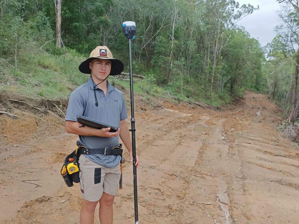


- Set-out, of Buildings, Footings, Piers, Boreholes, retaining walls, Columns, formwork, directional drilling.
- Set up Site grids in relation to boundaries.
- Control Surveys for horizontal and vertical.
- As-constructed surveys and QA reporting
- Calculation of volumes, bulk earthworks, stockpiles, stripping, dams.
- Form 12 certification for Building certifiers.


01.
IDENTIFY CLIENT NEEDS
How can we ensure that your project is a success? We will advise on the process and a scope of works with consideration to time cost and quality.
02.
PLANNING & IMPLEMENTATION
Identify and liaise with all relevant parties. Plan and quickly execute survey while exceeding Industry Standards with an emphasis on Work Health and Safety.
03.
SUCCESSFUL OUTCOMES & QUALITY DELIVERABLES
Achieving high standards from field and site work to office, reporting, plan, and data presentation. Providing a product that exceeds the expectations of clients and other land development consultants.